
Post-storm
Post-storm drone check for damage to roofs, photovoltaics and facades.
Fast aerial inspection to document visible damage after wind, hail or heavy rain, with a photographic report useful to technicians, administrators and companies.
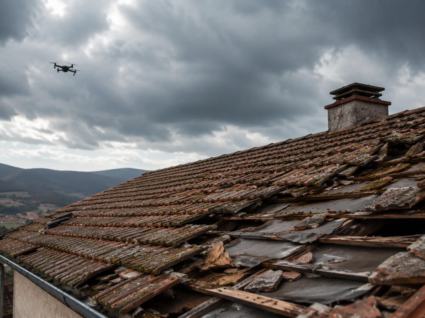
After wind, hail or rain
Document before intervening.
When damage is suspected on roofs, panels, facades or warehouses, the drone quickly provides an overview and photographic details without immediately exposing people to unnecessary risk.
Fast delivery
A report designed for urgent checks and decisions.
The priority is to show what happened, where the critical points are and which areas deserve a close inspection.
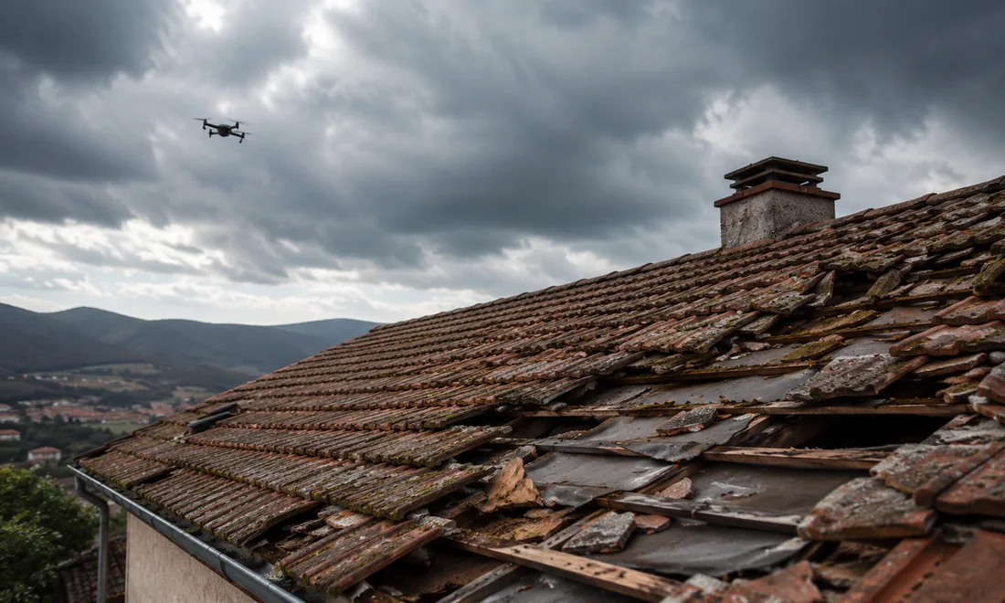
Panoramic photos
General view of the building, area or system to contextualize the damage.
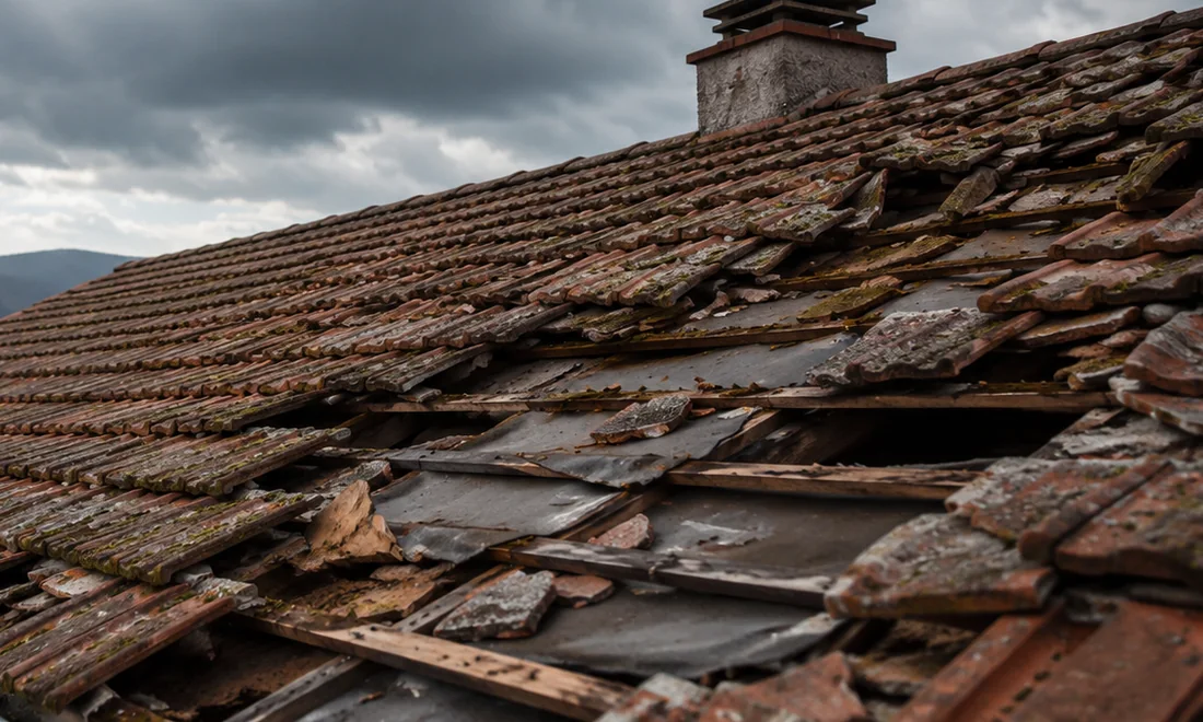
Criticality details
Selected shots of suspected points with position references.
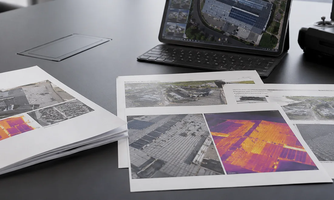
Operational summary
Notes and priorities to organize technical checks, maintenance or quotes.
FAQ
Frequently asked questions.
Practical answers to understand what is needed before planning the work.
When should I request a post-storm inspection?
After hail, strong wind, heavy rain or events that may have damaged roofs, photovoltaic panels, facades, gutters, warehouses or outdoor areas.
Does the report replace an expert assessment?
No. The drone report visually documents issues and can support technicians, property managers or insurers, but it does not replace a technical expert assessment when one is required.
Can you intervene urgently?
It depends on weather, safety, flight restrictions, access to the area and availability. Send the location and photos for a quick first assessment.
Do you want to check feasibility and cost?
Send us location, objective, approximate area size and, if possible, a few photos or a Maps link. We will suggest the most sensible solution.